Tuesday, 2 September 2014

Yellowstone

Lower Falls, Yellowstone
Sylvan Lake
Yellowstone Lake and the remnants of the 1988 fire
Yellowstone River
Lower Falls from Uncle Tom's Trail
Yellowstone Grand Canyon below Lower Falls
Upper Falls, Yellowstone River
Yellowstone Grand Canyon
Bison in the bike lane
On the Boardwalk by the Prismatic Pool Midway Geyser Basin
The colour variations were stunning - Midway

Along the Fire Hole river

Blue Star Spring, Upper Geyser Basin

Add caption

Fire Hole River below the geyser basin

Old Geyser in midday gloom
Thermally active skies as well 
Old Faithful at dusk
Morning Glory Hole

Old Faithful at dawn

Fire Hole river
Abyss Pool, West Thumb
Lake Yellowstone and Black Pool at West Thumb Geyser Basin 
West Thumb Geyser Basin

Yellowstone had been the prime attraction for our trip to the States. It was a place our generation had venerated as children through cartoons, and later as adults through TV programmes and magazines celebrating the world's first national park. Clearly, many others had the same inclination, so our foray into Yellowstone was time-restricted by room availability; two nights were all that were available. Accommodation was limited, with Xanterra Park and Resorts Corporation dominating the options. It seemed that Yellowstone National Park had been franchised and this was reflected in the price and quality of facilities.

We made an itinerary to take us westwards from Cody to the east entrance of Yellowstone National Park, driving up the Shoshone River to the Sylvan Pass and thereafter making an anticlockwise loop around Yellowstone Lake. This followed the Yellowstone River from Fishing Bridge up to its massive waterfalls into the Grand Canyon. We continued via Norris and Madison, stopping at the various geyser basins before reaching Old Faithful, where we were billeted for the night.

The forecast had been for clouds and rain, and it looked ominous as we headed westwards through the rocky ramparts of the Shoshone with American eagles patrolling the river. We headed into the vast pine forests at the entrance of the NP just before the summit of the Sylvan Pass at 8530 ft. The road then began to meander down to the impossibly attractive Sylvan Lake. Thereafter we entered the dead forest overlooking the Lake; it had been devastated by the fires of 1988 when lightning strikes had sparked massive fires during a particularly dry summer.  National reserve forces had been mobilised to help control the fires. The views over the Lake were hazy, and the promised views of Grand Teton were not on show. Yellowstone Lake, at an altitude of 7733ft. sits in the southeast corner of a vast caldera formed less than a million years ago. There is extensive geothermal activity on the bed of the lake but it is most visible in the various geyser basins to the north and west of the lake. Yellowstone has two-thirds of the world's geysers; nowhere else is the earth's crust so vulnerable to magmatic forces.

We called into the first visitor centre at Fishing Bridge and had a quick saunter along the lakeshore. The Yellowstone River drains the lake from here, and the famous indigenous cutthroat trout were still in the majority despite the intrusion of rainbow trout in recent years. We drove up the river and stopped to see the first group of geothermal activities - the mud volcanoes. The rains began whilst we were walking around and the downpour was so intense that all vehicles had to pull off the road.

It was not far to Yellowstone Falls but still raining hard as we crossed the bridge and headed along the South Rim Drive to Artist Point. The massive car parks adjacent to the two waterfalls were empty of vehicles and covered in pools of water from the downpour. I was the only person foolish enough to attempt the descent of Old Tom's Trail, which takes you to an overlook of the lower falls. It took about 25 minutes to go down and back, but the views were worth a two-day hike. It involved descending a muddy path and then 330 metal steps that had been bolted onto the rock face; the steps were extremely steep and slippery, and there was no respite from the rain. On returning to the rim, we continued for a couple of miles to Artist Point; this attraction had a herd of tour buses as well as a cavalcade of camper vans. Everyone seemed to have a plastic poncho and I was asked to act as photographer for several groups of poncho-clad tourists; our Goretex jackets seemed a bit too outdoorsy for this tourist trap

It was a spectacular viewing platform; the yellow and grey rocks and scree made it immediately evident why this place was called Yellowstone. Thoroughly soaked, we continued to the nearby Canyon Village, which was like an out-of-town shopping mall. At least it provided some respite from the weather, and the food was surprisingly good. We raced back across the tarmac to the car in another downpour, proceeded westwards to Norris Geyser Basin and walked out to the Artist's Palimpsests. It was a mile or so, and few others were bothering to make the visit. We continued along the crystal-clear Gibbon River and then walked around some of the various geyser basins. The rain was moderating but in the dull light the various mud pools, fumaroles and hot springs didn't have the impact that I had anticipated. The famous Prismatic Pool was just another shade of grey between the rising steam and the low cloud cover.

We arrived at the Old Faithful Lodge as the mass exit of day visitors were leaving. The lodge and nearby Inn are surrounded by huge car parks. Old Faithful Geyser is 400 metres away, surrounded by a wide concrete footpath that is a good half-mile long. Adjacent to it is another visitor centre, a building that seemed to be short of investment; the video equipment was not working, and the ranger lecture that we sat in on had all the vibrancy of a bear in hibernation. We watched the Old Faithful erupt; timings are about every hour and a half but are not capable of accurate prediction. As a result, crowds gather 15 minutes ahead of the best estimate and stay until Old Faithful obliges. In the dull evening light, it was a bit of an anticlimax, and the temperature was plummeting as August drew to a close. We returned to the hotel and sat in a refectory eating canteen food - our worst experience on the trip, but it would be trumped in Duchnesse.

The next day we had a planned tour with a ranger. The weather had warded off most of the other clients, and we had only a couple from Germany to share the ranger with. Her father was Scottish and had married a Texan. She had become a ranger and was totally committed to Yellowstone, having spent 15 seasons there. Her enthusiasm was infectious despite the rain and cold. We travelled to Madison, made a trip along the Fire Hole River, and visited the lower and middle geyser basins. We learnt a lot about the geology and the seasonal changes in Yellowstone. She explained the wildlife; it was surprising that the bison, wolves and some of the fish had all been introduced to the park from elsewhere. Although buffalo are pretty well everywhere and more dangerous than they look, bears and wolves are seldom seen except in the early spring. The most interesting feature was the vast array of micro-organisms called thermophiles, which make their homes in the hydrothermal features of Yellowstone. Although individually they are too small to be seen with the naked eye, the plant life around the pools provides a rich source of organisms that are proving very important for medical research.

Yellowstone had been a strange experience; we arrived in a rare downpour, suffered two days of rain and cold, and the hotel was a disappointment. The roads were awash with traffic, nose to tail like Longleat but without the wild animals. Although the end of summer was busy for the Labor Day weekend, most visitors seemed welded into their vehicles and unwilling to walk very far.  There was no stupendous mountain scenery as in Yosemite or Grand Teton, and even the Yellowstone River Grand Canyon had none of the awesome splendour of the red sandstone canyons and monumentalism of Utah or Arizona. 

Yosemite was just a big and largely flat forest-covered caldera where the crust of the earth was thinner than elsewhere, and magma was exploiting every orifice to release its gases and superheat the water. Nevertheless, we had never seen anything like this before, and it lingers in the memory as an otherworldly experience. With more days and more clement weather, we would have been able to explore further and escape the maddening crowds; we achieved that to some extent by staying out late, rising early and walking further, but it still felt more like a tourist destination than the unique and bizarre wilderness that it is.

Pot of Gold and two Old Faithful Geysers

Thursday, 28 August 2014

Mount Rushmore and South Dakota


Good Morning Mr President

View from President's Way
George Washington

Harley Davidson on the Iron Mountain Road, Custer State Park

French Harley Davidson Bikers

Custer State Park, where the Buffalos roam
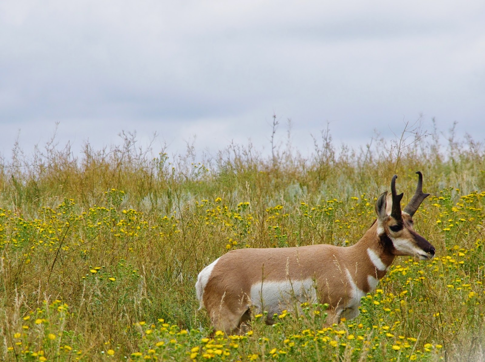
and the deer and antelope play
The Needles in Custer State Park

Sylvan Lake on the Needles Highway, Custer State Park
Keystone narrow-gauge near miss

The first base on our American road trip was Mount Rushmore. I had begun to have doubts about the huge 460-mile deviation we had made to take in the Presidents. The place had always intrigued me since reading about it in a children's encyclopedia. We were up early, first to breakfast and arrived at Mt Rushmore shortly after 8:00am. The skies had turned a hooloovoo blue, and visibility was perfect. It is a State, not a National Park, so we had to fork out entrance fees despite having invested in a National Park annual pass. The sheer scale of the 60-foot-high faces was mind-blowing.  It was a formidable project that illustrated the sheer determination of Danish-American sculptor Gutzon Borglum, who, with a team of 400 workers, had carved the president's faces in the fine-grained light-coloured granite at Mount Rushmore. The work started in 1927 and was finished in 1939, two years before Borgium's death. I remember discussing with Sandy Stoddart, a Scottish sculptor, a similar project to carve an amphitheatre on a rocky Scottish coast dedicated to Ossian, the mythical Scottish bard. I suspect it will remain a blithe ambition.

We walked into the amphitheatre below the Presidents, flags of all the States providing a walkway to the sculptures. There is a half-mile loop walk through the pine forest below the sculptures with well-judged descriptions of the 4 Presidents. I reckoned that there was room for at least another two heads to the right of Washington, Jefferson, Teddy Roosevelt and Lincoln. My choice would be Franklin D Roosevelt and possibly Obama. If he could get his act together on foreign affairs over the next two years. And maybe there should be a smaller 'B' list gallery for the impeached figure of Richard Nixon, and a space reserved for future scoundrels as a warning against lies and corruption.

We had a coffee before heading towards Custer State Park in the Black Hills to the south of Mount Rushmore. The State Park was the brainchild of Governor Peter Norbeck, by all accounts a thoroughly decent man who wanted to showcase the spectacular Black Hills and restore the wildlife that had been largely wiped out at the end of the 19th century following the gold rush to places like Keystone. We had been advised by several people not to miss Custer, and they were spot on. The drive up the Iron Road was steep with timber bridges and tunnels blasted through the rocks.

We were accompanied by an escort of French motorcyclists who had hired Harley-Davidsons for their vacation road trip. They were entertaining company as they posed for photos at each of the drop-offs. The mecca for motorcycling is in South Dakota at Sturgis, and each year in August, there are tens of thousands who make the pilgrimage and then cruise around the spectacular roads of the Black Hills. The French motorcyclists weren't obsessed with overtaking; it is not Scotland, and we felt we were in a presidential convoy rather than another car to be passed. It helped that Aileen spoke good French and that I acted as an unofficial photographer for them. As they left the last stopover, the pack gave us a klaxon farewell, making us feel pleased to be European.

The sun of the morning was gradually obscured by clouds, and we began to believe the weather forecast for thunderstorms ahead. We stopped at the state game lodge, where Presidents Calvin Coolidge and Dwight D. Eisenhower had established their summer White Houses and then headed into the wildlife park, where we were tipped off that a couple of hundred Bison were grazing alongside one of the dirt roads. We found them along with burros that came to be fed, pronghorns and prairie dogs. There was little traffic, and when we called into a cafe at Lodge Lake, we entered the 1960's with a jukebox playing Whiter Shade of Pale as we sipped coffee and ate cake on banquette seating and Formica-topped tables.

The final section of the drive was over the Needles Highway, a road that "could not be built" but was championed by Peter Norbreck and is probably the most spectacular road I have ever encountered. More tunnels, switchbacks and the final section through the famous granite needles that look like church spires. By the time we arrived there, the heavens had opened, but we still got out and observed the scenery in awe. We drove down to Sylvain Lake and had another walk in the rain, just amazed at the rock formations even in the poor light and pouring rain. We decided to give the Crazy Horse monument, still being carved, a miss and to drive back to Keystone. The roads were awash with rain, and we decided to take the longer route back to Keystone along the Old Hill City Road.

The road was fairly level, but was intertwined with a narrow-gauge railway line crossing it every few hundred yards. I had not seen any notices or warnings, and I assumed that the line must have closed at the end of the summer; it was 6pm anyway. My initial caution had worn off when I crossed the railway for the fifteenth time just before a steam train whistled and curved into view only 50 metres away from us. Our response was mixed. I was excited to see the steam locomotive, but Aileen was worried about what if the train had been 10 seconds earlier. But that's life.

The next day, we had to leave the Black Hills, and we had planned another 450-mile journey to the edge of Yellowstone. We were off by 7:45am, and after the deluge of the night before, the air was clean and the roads empty. We headed north on the 385 to Deadwood, a town overwhelmed by casinos and cheap hotels. There seemed to be a poker tournament underway, but we passed and joined the Interstate 90 to travel to Sundance; we were heading back into Wyoming.


Wednesday, 27 August 2014

Road Trip to Western States 2014

Jasper John's take on the Stars and Stripes


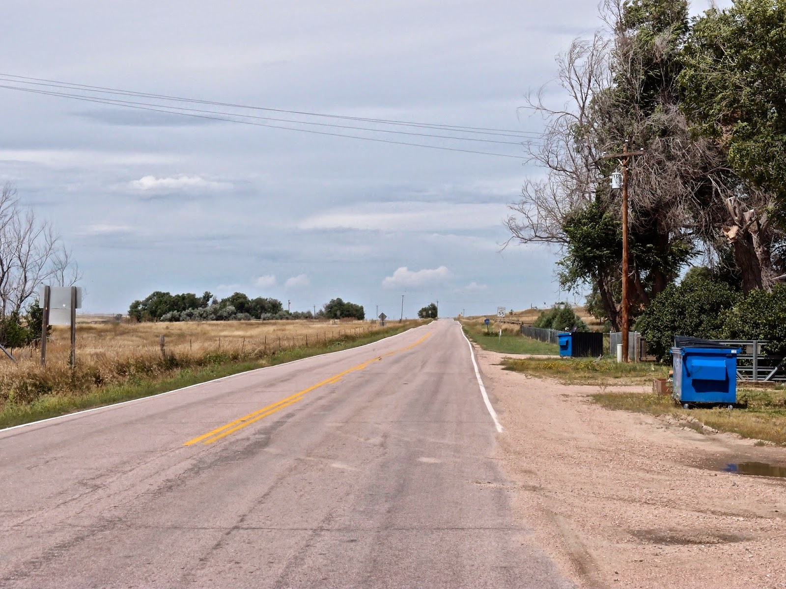
Big skies and empty  roads, the Pawnee grasslands
Cheyenne Museum
Big Boy Locomotive in Cheyenne Town Park
We finally got around to making that road trip to the western states of Colorado, Wyoming, South Dakota and Utah. The notion had formed 15 years ago following a mesmerising road trip with our three teenage children through Arizona, Utah, California and Oregon. The Utah landscapes had been seared into my memory but we had no time to get to Yellowstone. Work never allowed a three-week break thereafter so the trip was deferred until retirement. As always the holiday was a late decision, we had only three weeks after purchasing flights to Denver, booking some of the accommodation and then reading up on places to visit.

An anti-clockwise loop was planned travelling from Denver to the most northerly states first. I assumed that the late summer heat would be offset by the altitude and mountains. We would take in the plains of Wyoming, Mount Rushmore, the Black Hills of Dakota, the Devil's Tower, and then onto Yellowstone and Grand Teton National Parks. In September we would travel south to the desert lands of Utah and visit Canyonlands and Arches national parks, hoping that the furnace-like temperatures of summer had subsided. The final part of the road trip would be to four corners (where Utah, Colorado, New Mexico and Arizona meet) and then to Mesa Verde National Park before returning to Denver through the Rockies. We completed off the trip with four days in New York to reacquaint our minds and bodies with noise, fumes, corporate excess and a bit of culture. It was an ambitious plan with 3000 miles to be driven on top of 10,000 miles of flying - not exactly carbon neutral but the first holiday of the year.

We flew from Edinburgh to Newark Liberty International where we changed after a four-hour break for a flight to Denver. The flight was well ahead of schedule until we were put on hold over western Idaho and circled over the drab colourless plains watching the traffic and trains below whilst an electrical storm passed through eastern Colorado. Denver airport was both modern and efficient and we were soon at an airport hotel 7 miles away from the airport. There was a good diner nearby and I started as I meant to continue with some fine craft beer to accompany the salad and chicken.

First thing the next morning we hired a car but had to survive the usual hard sell to upgrade to a 4X4 or a large saloon for our 3000-mile trip. I resisted to the chagrin of the salesman so the choice was a line of Chevrolets, a couple of Toyotas or a VW Golf estate. We chose the latter thinking it would be more familiar and less thirsty. We headed north through Colorado staggered at the extent of the commercial developments stretching northwards from Denver. It was also apparent that we had one of the smallest vehicles on the road with gas-guzzling 4x4s, huge trucks often pulling similarly sized trailers and the odd convoy of military vehicles creating the impression that we were in a war zone. The environment was certainly being crushed by American prolificacy.

The railroads were chock full of trains that had three locomotives, and 90 plus trucks that were over a mile long, but this is mining country. I took a 60-mile diversion through Pawnee Indian grasslands to escape the traffic en route for Cheyenne and found images of America that could have been the 1950s: vast plains, old cars, trucks, fences and moody skies. Cheyenne is the largest town in Wyoming and has a vibrancy that owes much to the public buildings like the town hall, museum, railway station and the sense of being a "centre" of a very sparse state. We had lunch in an Italian diner and visited the museum and the biggest railway locomotive in the world: Big Boy.

It was 3pm when we started to roll again and drove north on the near-empty Interstate 25 highway. The scenery was glorious in the afternoon sunshine although the vast empty prairie landscapes were vandalised by massive adverts for real estate and dotted with signs for small settlements or rivers. The villages, roads and creeks were mainly named after extinct animals, lost Indian tribes and dead people. Names like buffalo plain, little bear bluff, old woman creek, or dead Indian hill.

We turned off Interstate 25 to take a route via Guernsey and Hartville, the smallest settlement with a post office in the United States (pop 25). It would have been closed years ago in the UK. Then along the glorious rising highway 270 to the remote town of Lusk. We battered on through flatter scrubland to Newcastle, a small but busy town which was infested by pick-up trucks, take away food outlets but no sidewalks.

The highway to Mount Rushmore was through the scenic Black Hills of Dakota. It was being resurfaced and even at 8pm, there were still dozens of trucks and roadmen rolling out the asphalt. It delayed us by half an hour so that it was dark when we drove past the floodlit profiles of the Presidents and into the adjacent town of Keystone.

I was not sure that a 460-mile drive was the most sensible idea on the first day of the holiday but at least the schools were back after the holidays and we were blessed with relatively quiet roads for the trip. All the restaurants were closed as the visitors had left with the schools going back but the hotel was comfortable and it was 4am UK time. As a first day, we had certainly sampled some sublime landscapes, enjoyed the emptiness of Wyoming, the least populated state, and learnt to cope with driving amidst monster trucks at 75mph.

Tuesday, 12 August 2014

PMs coping with adversity

When Vince Cable tried to topple Gordon Brown from his perch with his jibe about from Stalin to Mr Bean, the PM was saved because he had ballast. Over 30 years of developing his ideas and debating them with colleagues and party members. When Tony Blair was savaged by most of the press and his own party over Iraq, he floated above it because he inhaled hydrogen and had that belief of righteousness. John Major saw off his detractors by his challenge to put up or shut up, and he had a hinterland that included time as Chancellor, Foreign Secretary and Home Secretary. Margaret Thatcher had an inner belief in her vision of individualism. David Cameron had none of these qualities and is languishing in the doldrums between the Tory Party of the last century and the privatised sanctuary that his modernists would subscribe to. It seemed to me that the prime ministers could be divided into three groups: 
  • those who introduced radical change and were electorally successful - Attlee, MacMillan, Wilson, Thatcher and Blair. 
  • Those who won an election but who struggled to make an impact or endear themselves to the wider public: Churchill (in his 1951 -1955 guise), Heath, Major and probably Cameron; and 
  • those who never won an election and were considered failures - Eden, Douglas-Hume, Callaghan, and Brown.
Cameron won one election outright and negotiated a coalition government with the Lib Dems after failing to win in 2010 when Gordon Brown had lost the electorate.

The PM who made the most significant changes, which have withstood the test of time, was Attlee, not a charismatic communicator, but someone who managed a team of talented politicians and allowed them to radically reform the role of government, thereby eradicating much of the pre-war perils of poverty and class division. MacMillan invested heavily in public infrastructure and was brave enough to bring down the curtain on the empire. Wilson led the expansion of higher education, carried out significant social and economic reforms during his first six years as PM. Thatcher abandoned the post-war consensus about the role of the state and adopted neo liberal policies that created a strong market economy and privatised or reduced many public services. Blair courted the city, the press, and media, but did carry out significant social reforms, such as introducing the minimum wage, providing international aid, and investing heavily in Education and Health facilities, with consequent improvements.

Wednesday, 6 August 2014

Carn Bhac and An Sogach

An Socach from Glen Ey
Tuesday, 5 August 2014
Ascent:     1065 metres
Distance:  13 kilometre walk + 18 kilometre cycle
Time:        5 hours 40 minutes

Carn Bhac        946m           2hrs 25mins (1hr 3mins on bike) 
Allt Beinn Iutharn crossing  3hrs 23mins
An Sogach       944m           4hrs 15mins

I gave myself a fifteen-minute break for food and a change of footwear after the excursion up Sgur Mor before beginning the tough cycle ride from Inverey up Glen Ey. It is the third time I have done this and it gets no easier. A strong southerly wind had sprung up in the afternoon and after passing through the immaculate grounds of the lodge and house, I began to tackle the gradient and the wind. Most of the 170 metres of ascent are made in the first couple of kilometres and, after crossing the bridge about halfway up the glen, the main problem becomes the narrow track and the grazing sheep. I passed another party of teenagers saddled with packs that were far too large and looking glum as they sat by the upper bridge. I dumped the bike in the ruins of Altanour Lodge and after looking at the steep profile of An Sogach ahead I decided to climb Carn Bhac first. I normally walk better as the day gets longer and I trusted that this would allow me to tackle the unforgiving 450-metre ascent of An Socach at the end of the day. 

There is no respite in climbing Carn Bhac from here either. I have climbed it on two previous occasions in this direction but in the early morning mist after camping at Altanour Lodge. I took the same line, a rising traverse across the southern slopes of Carn Creagach but in August the heather is more than knee deep and it continued all the way to the bealach at 777metres from where views of the Cairngorms appeared. The final 170 metres of climbing was easier with shorter heather and sections of boulders. It had taken longer than anticipated and I took a ten-minute break at the cairn. A scout supervisor from Edinburgh appeared to claim the summit before returning to find his charges in the glen. I followed him on a path heading south-east and it provided an easy and quick route down if only I had been aware of it on the ascent. The downside was a large number of shooting butts served by eight-track vehicle that had mashed what had been an excellent path into a boggy muddy track. There were not many grouse to be seen in the vicinity, maybe selective breeding had gifted them with the knowledge that the glorious twelfth was nigh.

There are two burns to cross including the considerable volume of water flowing down the Allt Beinn Iutharn and it took a few minutes to find a crossing place. I managed to keep my feet dry. Ahead was the dreaded slope of An Socach, the only mitigation were the bands where the heather had been recently burnt. The steepness was unrelenting for 350 metres from where the northern shoulder led to the final climb to the untidy looking cairn/shelter. On the ascent, I disturbed quite a few hares and found two dead young ones. Before reaching the summit I saw the possible culprit, a fox, that contoured round just above me. The summit gave me chance to finish my food before starting on the descent. I had decided to head down the northern corrie and despite fairly steep slopes, the route proved to be a good one. I disturbed well over a hundred grouse who had presumably assembled here to keep out of the way of the shooting parties.

The vegetation became increasingly dense with heather and bog grass ensuring wet feet and scratched legs, as well as giving some ticks the chance to get a feed. Arriving at the river, I could not be bothered going back upstream to find the bridge so waded across. I was relieved to get on the bike and with the wind and gravity in my favour, I made rapid progress down the glen scattering a few hundred sheep in the process. A party of teenagers had made camp but looked on jealously as I sped back to civilisation. I had one narrow escape when the bike was going too fast as I hit some boulders on the narrow track and I am still bewildered as to how I managed to stay upright. I was back at Inverey by 7:30pm and by the dint of some quick driving down the empty roads of Perthshire I was home by 9:45pm.


Looking towards the Cairngorms from the bealach east of Carn Bhac

Carn Bhac summit looking towards the Cairngorms

An Socach from Carn Bhac

Allt Beinn Iutharn

An Socach summit

Glen Ey from An Socach

Altanour Lodge through the burnt heather


Sgur Mor, Cairngorms

View of Cairngorms from Sgor Mor
Tuesday, 5 August 2014
Ascent:     480 metres
Distance:   8 kilometres walk, 18 kilometres on bike
Time:        3 hours 0 minutes total       
                 1 hour 58 minutes walk from White Bridge, 
                 1 hour 2 mins on bike from Inverey     

Sgur Mor         809m     1hr 44mins (36 mins on bike to White Bridge)

I had planned to climb Carn Bhac and An Socach from Inverey before the onset of the shooting season and had a sudden notion to add Sgur Mor, one of my last remaining corbetts in the Cairngorms. It would be a long day and not possible without a bike. The good forecast was even better in the morning and I left home shortly after 7am. After realising the probability of a sun drenched hot day, I stopped in Blairgowrie to pick up an energy drink and some sun cream. The road from Blairgowrie to Glenshee always seems longer than expected but the visibility was superb and on the long descent to Braemar I was the only vehicle, my urge to go faster suppressed by the imperative to admire the mountain landscapes.

The road from Braemar to Inverey or the Linn of Dee is one of the best in Scotland with the river Dee in the broad glen providing the perfect setting for the caledonian pine forest and the peerie granite cottages looking like pink polka dots in the landscape. I parked up at Inverey in a near empty car park and assembled the bike. I had taken a rear wheel from an old bike to replace the buckled wheel from my last outing, but it had only 8 cogs instead of the 9 cogs on the original. I needn't have worried it worked well. I had decided on the journey up to Inverey to climb Sgurr Mor first, it would be an easier cycle ride and I knew it would be hard to summon up the energy to climb Sgur Mor after the more difficult ride up Glen Ey to climb the two munros.

I was soon speeding along the 3 kilometres to Linn of Dee, enjoying the scenery and the sunshine. The views from the bridge are a microcosm of all that is best in the highlands. It is a further 6 kilometres of riding up to White Bridge from where I took the path on the north of the river Dee leading to the waterfalls at Chest of Dee and then on to the Lairig Ghru. I met a family of four attempting the walk and admired their sense of adventure as well as their choice of a perfect day to attempt this walk.  I left the path and headed up the first large burn and then across interminable heather slopes before reaching the fine granite spur south of the Sgur Mor summit.

A steady breeze had sprung up to cool me during the ascent but even on the summit a T shirt was all that was needed. The eroded granite gave a carpet of orange/pink granules and the rocks provided a sculpture trail to the summit. The views across into the Cairngorms were very impressive with the massive shapes of Cairntoul and Ben Macdui guarding over the Lairig Ghru.  I looked over to Carn Bhac in the south east and realised that I had quite a distance to cycle and walk so set off running to make a more direct descent to my bike.

The Cairngorms are one of the few areas in Scotland where deer are largely absent following the culling of recent years but I was also surprised at the absence of grouse in the lush heathers that  inhibited progress even more than the boggy ground on the descent. I collected my bike and made a speedy descent passing several groups of young people quipping that they wanted to buy my bike. Although only a gentle gradient, I managed to keep a good cadence all the way back to Inverey. The optimistic schedule of 3 hours that I had set myself had been achieved. I felt suitably pleased and took 15 minutes to change shoes and have some lunch before setting out for the second cycle/walk of the day to Carn Bhac and An Sogach

The river Dee by Linn of Dee

Pine forest at Linn of Dee

The Dee before White Bridge
Sgur Mor summit
Cairntoul to Ben Macdui from Sgur Mor


Monday, 4 August 2014

Happy and Clyde at the Glasgow Commonwealth Games

Men's Hurdles At Hampden


Well despite the rain over the last few days, the shortage of buses to the athletics at Hampden in the first couple of days and the excruciating handover to the Gold Coast at the closing ceremony, the Glasgow Commonwealth Games was a roaring success. This could be measured by the full attendance at all events, loads of medals for Scotland and England, superb coverage by the BBC but most of all by a Happy and Clyde-friendly atmosphere and positive patter that was contagious during the 11 days of competition.

Unfortunately, my attempts to obtain tickets had not been very successful, mainly because I only tried for athletics and cycling and on my second attempt I was thwarted by the ticketing website crashing. Nevertheless, a day at athletics plus a couple of days in Glasgow and most evenings in front of the television gave a wonderful take on sport as it should be played and an enthusiasm from the spectators that was so infectious that Usain Bolt was dancing to the Proclaimers.

I enjoyed watching the Nigerian sprinter, Blessing Okagbare, the Grenadian 400-metre runner, Kirani James, and rugby sevens which is so much better a game than rugby. The success of Erraid Davies, the 13-year-old Shetland girl in the para-sport swimming together with Jo Pavey and Emma Pooley, two mighty tough women who won silver medals in their last events before retiral provided the most emotional victories. Most of all I was delighted that Geraint Thomas of Wales won the hardest event of all the 168km cycle race in torrential Glasgow rain. He was the only British finisher in the Tour de France this year and had led the peloton day after day riding with immense commitment and was the stand-out rider in the very disappointing Team Sky.

Daniel Purvis and Daniel Keatings, the Scottish gold medal gymnasts who train in England, were both part of the excellent tranche of athletes graduating from the Institute of Sports coaching that started in the late 1990s using Sports Lottery money. They are normally members of the unified GB team in a similar way to the Scottish cyclists who have trained at Manchester and the swimmers at Bath as well as Stirling.

Hampden worked so much better as an athletics stadium than it does for football. This is maybe because I prefer to stand at football matches and the tribal nature of fans is diluted in the shallow and spacious seated terraces. For athletics, the watching is more relaxed, more supportive of excellence and the underdog and certainly less trenchant. I was also pleased that England beat Australia in the medals table for the first time in a generation and that Scotland had their best-ever medal haul.

There had been a truce between the 'Yes' and 'No' campaigns for the Scottish Referendum during the games. Still, yesterday Nicola Sturgeon, the deputy first minister, broke the truce and reverted to type claiming that the cascade of Scottish medals would boost the Yes campaign. It is this sort of dubious statement that makes us despair of politicians whose motives are risible. My experience at Hampden was typical of thousands of others, we sat next to a young family who had originally hailed from Trinidad and Tobago and by the end of the session we were hollering with them for Trinidad and Tobago and enjoying their warm friendship. The cheers of the crowds throughout the games were for effort, grace and bravery rather than narrow nationalism.

If anything the games broke down barriers between nations as the crowds were unified in humour and humanity and the athletes displayed a humility that is sadly absent in most professional sports This was encouraged by the integration of the para-athletes into the games and by the emergence of new young talent in swimming and gymnastics in particular. Multi-sport games also dilute the win-at-all-costs mentality that sometimes dominates the Olympics. This has been the case since Rome in 1960 when the United States and the Soviets used sport as the frontline for political propaganda.

So Nicola I suggest you go away and think again. Everyone should be proud of what was achieved by Glasgow in the organisation of the games, by the Scottish team, by teams from the other home countries and by the developing  Commonwealth countries. Most of all we relished the friendship between nations. To claim that "the games have provided a perfect platform for a yes campaign victory" is a gallus and a sad indictment of small-minded politicians. It is certainly not in accord with the majority who have enjoyed the friendly games that, if anything, have reinforced a belief in both the 'family of home nations' and the banishment of intolerance amongst nations.