Showing posts with label Trossachs. Show all posts

Saturday, 20 June 2026

Back Up the little Ben

Ben Ledi to Ben Vorlich

Loch Venachar
It is over a year since I last climbed Ben Gullipen, which is when my hip found it too steep and difficult. It is a lung-bursting ascent for the first kilometre, and I have been warned by physios not to attempt too much since my new hip operation, although I have had a few longer walks with less steep ascents and made a couple of walks up the slightly less steep Lime Craig. 

The bad weather, supporting Gregor on his Big Run and now the World Cup have provided a good excuse to avoid a hill that is only ten minutes away and could be done, up and down, in 45 minutes in the past. Today it took 47 minutes to reach the summit. I did have a chat to a man on an electric Mountain Bike on my way up; he urged me to get one.

I ran part of the way down until I met a local Councillor and her partner and stopped for ten minutes for a blether. The actual descent took 23 minutes compared to a PB of 13 minutes. I was still pleased and celebrated with a Corncrake Beer from Orkney. The Netherlands 5-1 defeat of  Sweden in the World Cup was an easy watch on the couch after some exercise. The weather is to be fine for the next three days, so I will try to get back into the habit of a pre-breakfast walk up the hill. (I did and was out by 7:30am the next day on a perfect summer morning. I managed to get the ascent time down to 41 minutes by taking no rests, but it took 25 minutes for the descent despite running several sections. My legs and lungs still have to get used to running again. I am good with the couch, but the 5k jaunt up Ben Gullipen will need some patience.

The outing convinced me that I should buy a new bike. I have a 1970s steel-framed road bike, a 30-year-old Cannondale road bike that has had little use since I was running 3 or 4 times a week until 18 months ago and a 25-year-old heavy Mountain Bike that I have used for getting into the more remote hills on mountain tracks. None of them suits my current need, which is for cycling on forest trails as an alternative exercise to running. I am tempted to buy a gravel bike, but the local shop thinks a lightweight Mountain Bike might be more useful. Several friends have suggested an e-bike might be better at my age! Time to make a decision.

The early morning view of Ben Ledi


Wednesday, 8 April 2026

Rob Roy Way: Killin to Lochearnhead

Killin - Dochart Falls


Tuesday 7 April, 2026

Ascent:    276 metres
Distance: 13 kilometres - including walk to/from Lochearnhead car park
Time:       2 hours 53 minutes

At last, a day without rain or wind and the temperatures rising to 15°C. I decided to attempt the section of the Rob Roy Way from Killin to Lochearnhead. I drove to Lochearnhead and parked in the village car park on the A85 and caught the C60 bus. I fell into conversation at the bus stop with a young woman who lived in one of the social rented houses that we had obtained funding for in 1999. She worked in the Recycling shop in Killin and was hoping to get entry to a vocational course in Public Health or Psychology in Edinburgh. She had values that gave me hope for future generations.

The day was bright as I left the bus just before 11am and began the walk by crossing the Bridge of Dochart. The falls were sparkling in the sunshine and quite a few tourists were enjoying the weather at the fag end of a miserable Easter weekend. After walking half a kilometre, the Rob Roy Way and Route 7 national cycle trail dive into the forestry plantations. 

The Rob Roy Way follows the old railway branch line that ran into Killin until it was closed in September 1965. This resulted from a rockfall in Glen Ogle that shut the Callander to Oban Line just months before the Beeching proposals would have done so. There is a 1-in-50 gradient from Killin to Killin Junction, west of Lix Toll. This provided a gentle incline on the Rob Roy Way. Thereafter, the trail zig zags up steeper terrain, climbing almost 200 metres through the forest towards the summit of Glen Ogle. I had made good time and reached the Memorial to the Tornado fighter jet that crashed here in 1994. It had flummoxed our Emergency Planning procedures, which until that time had focused on flooding and coping with an incident at Grangemouth. 

I stopped for some food before crossing the A85 and hitting the disused Glen Ogle railway track. It sidles past the attractive Lochan Lairig Cheile before entering a deep cutting.  The descent down Glen Ogle had been on my to-do list for fifty years since hearing Duncan, who had been a signalman on the line, describe the rockfall and subsequent closure of the line that was his pride and joy. He became a postman and part-time gardener for Aileen's parents and had a formidable commitment to all his occupations. 

During the early part of the walk, I had seen only one couple, but hereafter there was a steady stream of cyclists, walkers and one runner. The descent was steady, and after examining the viaduct and admiring the stone embankments that were mainly intact after 150 years, I was beginning to weary. I decided to take a steep path down to the centre of Lochearnhead. It was 2 pm and I had managed 20,000 steps and 13 kilometres for the first time in 9 months. I hobbled back to the car; it was sore feet, not my hip, that was the curse. There is now only one leg of the Rob Roy Way remaining to be walked, Aberfeldy to Acharn.    

Dochart Falls and Ben Lawers range

Old Killin Branch Line to Lix Toll

Looking back to Ben Lawers from Mid Lix

Memorial to the Tornado Pilots at Grenoble Cottages

Glen Ogle cutting

Top of the Glen Ogle descent

Glen Ogle Viaduct

Descent to Lochearnhead

Bonus - Killin Branch Line


Sunday, 25 January 2026

Walk Alone


Source of the River Forth

After 4 or 5 weeks of being housebound as I recovered from becoming bionic with a new hip, I have begun to take my legs for walks in familiar haunts. The occasional shopping trip started the comeback once I was able to ditch the crutches, and then I attended some exercise classes in the nearby community-run leisure centre. It was time for a walk on the wild side, so into the Trossachs forests, where I had run over 18.000 miles whilst wearing out my original hip. I did a couple of kilometres frolicking about on a dank winter's afternoon, taking photos of places I had run past on thousands of occasions. Walking alone seemed just right.

Loch Ard


Exit of Loch Ard

A couple of days later, I had met Gregor and Emily for a Sunday Lunch on an equally dull, drizzly day and decided to take a stroll around Flanders Moss on the way home. The chill wind and harsh, boggy, washed-out landscape had a bleak beauty. I ambled around, hands deep in the pockets of the insulated jacket, the hood up. This was reminiscent of hundreds of mountain walks, but with no gradient. That is what I am looking forward to next.

Flanders Moss Viewing Tower

Under the Boardwalk, having some fun


Carbon Capture

Flanders Moss below Thornhill

Friday, 20 June 2025

Torrie Forest

Jogging Path
Friday, 20 June 2025

On these warm summer days, it is best to be out early. I had not been near a hill for over a month, hardly having the energy to contemplate such an outing. I knew I needed to break the abstinence, so I decided to try a walk in the Torrie Forest, which is only 3 miles away and provides trails and twisting, narrow paths through the forest. I often visit it in winter on foul, wet, or icy days and nights when the hills have no attraction. Today, it was a case of recharging my quads and glutes after next to no exercise since February. 

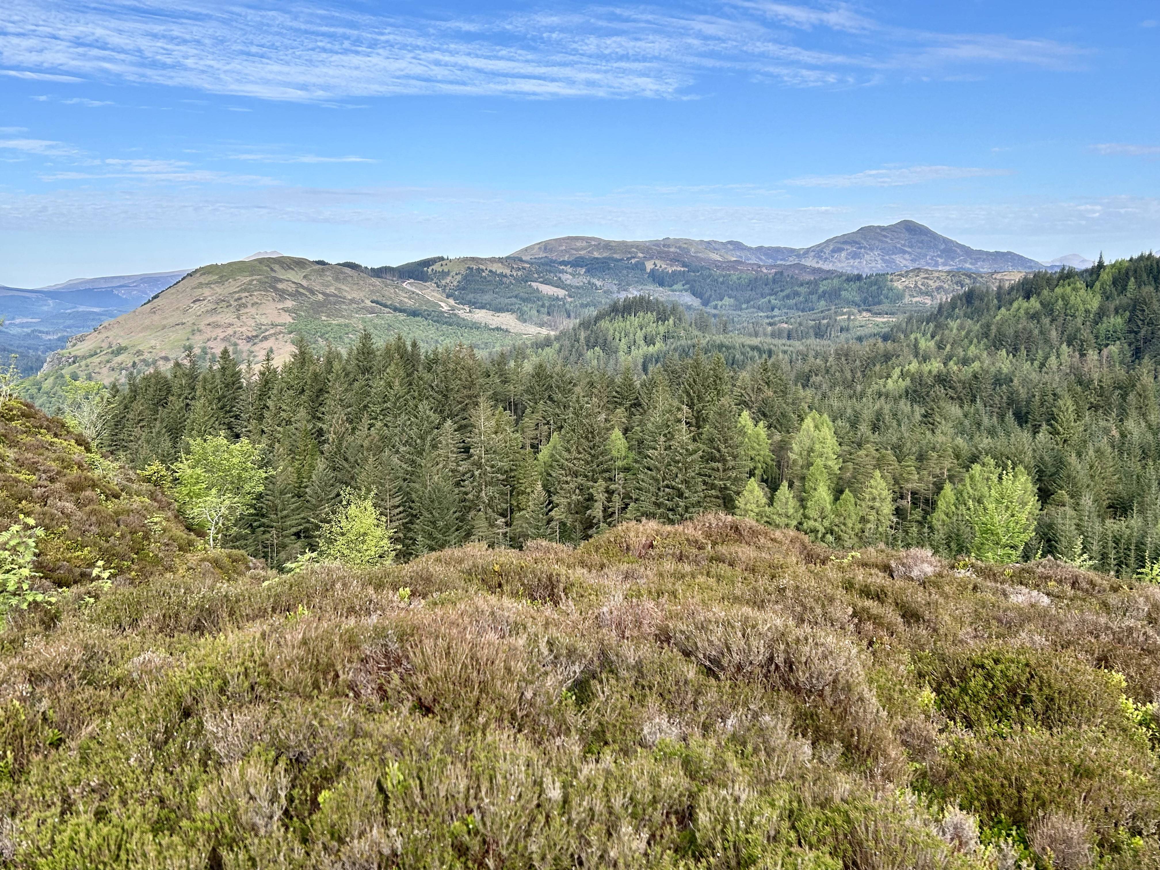
The outing was perfect, with the distant views of Ben Ledi and Ben Vorlich a reminder of where I should be on days like these. The sinuous path that takes you deep into the forest was embossed in every shade of green, although the forest adjacent to the start of the path was being harvested. I took the trail road to the distant edge of the forest and went out and back before making a loop back to the start. I managed to achieve a decent walking pace on the undulating paths and trails. It was the first time I had taken photos in Torrie Forest, it is usually dark or wet or both when I venture out on this more forgiving exercise ground.

The morning sun was a welcome treat, and I managed a steady pace, forbidding myself to run, which I had done a few days ago with resultant damage to my groin. Recovery from injuries is no longer measured in days. I have always been negligent when it comes to stretching and warm-ups, and whilst it never seemed to affect me in my younger days, it is maybe time to start. I will be going to the Lakes in a couple of weeks and had hoped to get close to finishing the Wainwrights, but I will need to restrict myself to a few smaller hills, assuming I can acquire a modicum of fitness over the next week or so.

Ben Ledi

Ben Ledi to Ben Vorlich

The trails

Pine wafted skies

Stuc a' Chroin and Ben Vorlich

Almost done


Monday, 2 June 2025

Gravelfoyle

Gravelfoyle Aqueduct Trail 


Loch Ard Rob Roy Cave loop

I was in the Ribble Bike Store in Clitheroe last October, eager to purchase a Gravel Bike after being urged to do so by a friend during rides up gravel trails to some of the remotest Munros. She had one of these lean machines that was only half the weight of my 20-year-old Mountain Bike. The carbon fibre bikes were the lightest and looked the best, but they were not set up for panniers, and I had a notion to cycle the Western Isles as a reprise of a trip I did almost fifty years ago. I couldn't decide between steel and titanium, and the delivery time for a Ribble bike was 3 months. Additionally, there was a £300 charge for choosing a colour.

A fellow customer from Derbyshire encouraged me to get the carbon fibre frame, which had the best colour range. He told me that he visited Gravelfoyle in Scotland every year to enjoy the amazing bike trails there. "Where's that?" I asked, thinking it was a name for somewhere in Dumfries and Galloway. "It's in Aberfoyle, near Stirling, that's where I go for my cycling holidays on my Gravel bike, it has miles of trails". I had lived in Aberfoyle for thirty years and usually would run on the 200 miles of "Gravelfoyle" trails in the Queen Elizabeth Forest Park at least four times a week. There were a few other runners, and when our children were young, the only cyclists other than us were local families out for rides on bikes that were meant for surfing the asphalt. 

I bought a Saracen Mountain Bike in 1990, mainly to access distant hills when climbing the Munros, but I used it on the local trails on days that I did not have the inclination to run. When the back stays broke, I bought a heavier Trek Mountain Bike with front suspension and it is still serving me well, although it has worn out lots of tyres and is a real heave to get on the roof of the car. I was keen to purchase a new bike, but time passed, and I gave up the notion in March after a viral illness that left me listless and legless. I have even had to stop my morning run/walk up the local hills. The six weeks of sun-blessed spring weather, perfect for hillwalking, were spent in the garden repairing patios, chopping trees and planting hedges.

My daughter and family came up for half term, and on the only decent day, we decided to visit Aberfoyle and hire some bikes for a ride on the trails where I had run over 18,000 miles on the forestry trails that were now referred to as Gravelfoyle. The Queen Elizabeth Forest Park had been my playground, gymnasium and escape from the daily grind of work. I knew all the routes, but they now have names and are visited by legions of trail bikers. My daughter and grandson had to hire bikes so I decided to hire a Gravel Bike rather than take my faithful but heavy Mountain bike. The son of Cindy, an excellent physiotherapist and potter, was working in Aberfoyle Bike Hire shop. He kitted us out and sent a message to his mum saying we might visit her after the ride. He provided me with a featherweight GT Gravel Bike to snake the trails. 

We had three hours, and I decided that we should use the route I used to run when preparing for marathons or mountain marathons. An easy cycle through the village and Manse Road and on to Lochan Spling and Duchray Castle. It was hilly at first and then segued into a series of gently undulating sections towards the aqueducts over the Duchy Water that carried the water supply from Loch Katrine to Glasgow. The cycling was perfect as I shuffled through the gears and enjoyed watching the others as they revelled in cycling somewhere totally different from their normal rides on the London bike lanes. We stopped for a snack by Duchray cottage, and another cyclist zoomed past on his descent to the aqueduct. The only other cyclist we saw all day. There was a route sign for the Aqueduct trail, the very same route I had used when training for the Snowdonia Marathon in 1988.

We began the return journey by dropping down to a bridge at Blairvaich over the Duchray Water, where locals bathed in the Black Linn waterfalls on summer days. The sun had emerged as we headed back on the Statute Labour Road towards Loch Ghleannain. Kit had got his second wind, fuelled by an apple and some water and was charging up the inclines. We took a turn down to Loch Ard before returning on the trail alongside the shore. There is a spectacular loop down to Rob Roy's Cave, which was the highlight of my regular 8-mile run for many years. Arriving at Milton, it is a mile back to Aberfoyle on a path initially and then along the road. I used to take the children running on this route when they were at primary school. Gregor ran the mile in 7 minutes 40 seconds as a 7-year-old. I wish I could still do that. We passed our old house and arrived back at the Bike Shop with half an hour to spare. Perhaps I should have a rethink about buying a Gravel Bike. 

After returning the bikes and catching up on village news we headed home over the Duke's Pass, dropping in at Cindy's pottery where a milk jug was bought by my daughter and then past the Trossachs Church where both myself and my daughter had been married and then past Loch Venachar where we had visited Aileen's parents at ther cottage almost every weekend. It was the end of half term for the family, and with some sadness, I dropped the family at the station early on a wet and windy Sunday morning for their return to London.

My hired Gravel Bike

Lochan Spling

Towards Beinn Bhreac

Ben Lomond

Rob Roy Loop

Alongside Loch Ard 

Kitchen Iris

Leaving for London


Thursday, 8 May 2025

199 and Out

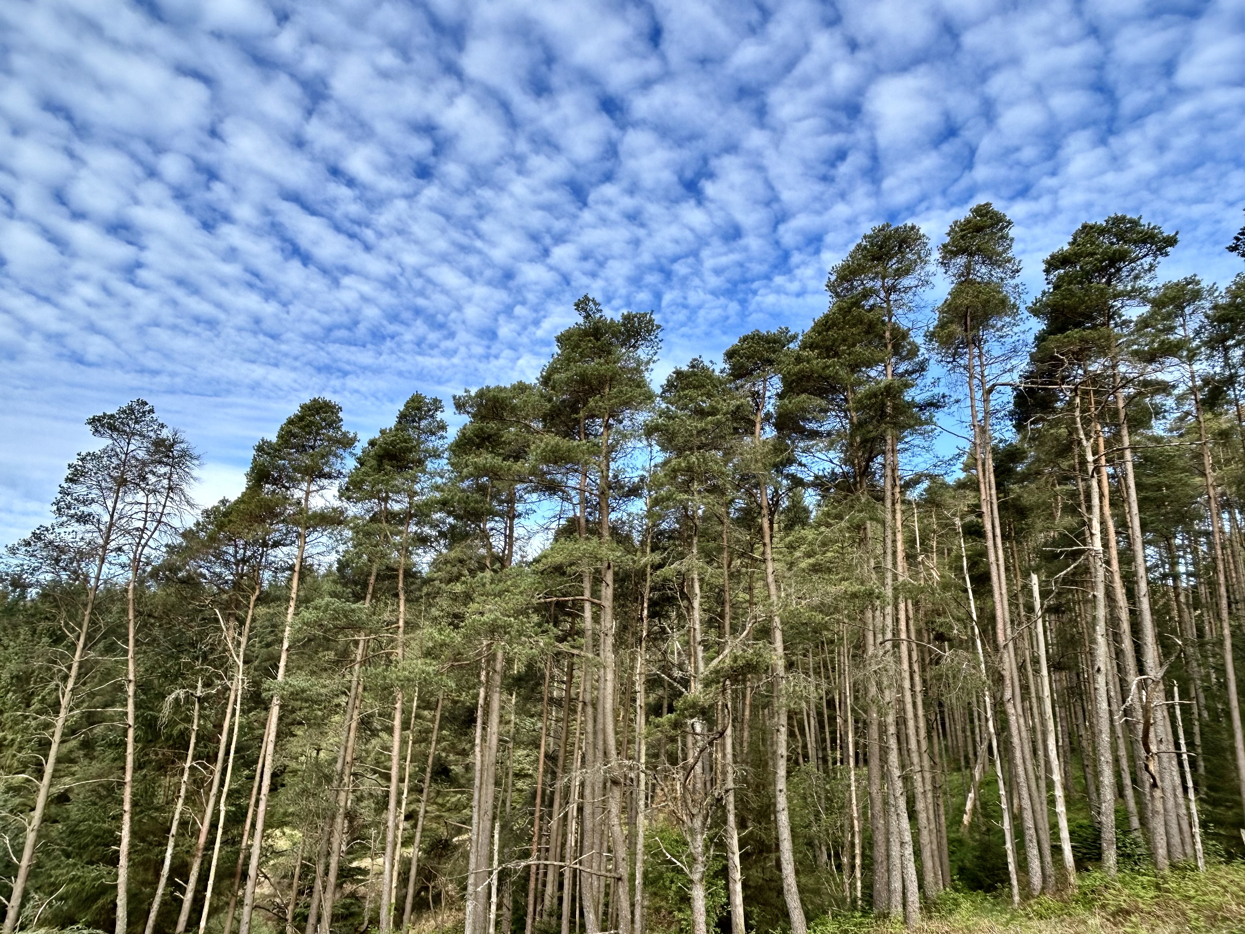
It was another gorgeous morning, cool but still, blue skies patterned by nature's artistry of the cirrostratus clouds, creating patterns that blow your mind. It was a significant day; I had finally come to terms with my age and condition. I have always been an optimist, believing that I should be able to continue to do things I had always done.  Running all the way up my regular hill, Lime Craig, was proving tricky. I last did it in 2020. After the lockdown, it was difficult to build up the fitness to run up the steeper sections of the 300-metre hill. I continued to go up three or four times a week once they removed the tapes that prevented people from going up hills. Unlike golf, sailing, and other high-end outdoor sports that had convinced Boris Johnson to allow them the freedom to roam with impunity, hillwalkers and runners were still deemed a danger to social isolation.

The result is that I have been stuck on 199 runs up Lime Craig since my first ascent in 1988. I had intended to donate a bench for the summit on reaching 200 so that I could have rest there during my dotage. I had even spoken to the Forestry Commission to see if they would allow me to transport it up the narrow private track. As it happened, they decided to provide a bench in 2021 and by serendipity, I was there on the morning they were installing it. At the time, I was going up the hill four or five times a week for my morning exercise. I helped the two forestry workers find the best position so that visitors could enjoy the views westwards along Strathard, Loch Ard and towards Ben Lomond. 

I had started to run up the hill from Aberfoyle in 1988 when we moved there from Glasgow. I was a road runner but training for the Snowdonia (Eyri) Marathon, which involved 3061 feet of ascent in three major climbs. Two laps of Lime Craig gave me 1800 feet of ascent and 13 miles, and became one of my training runs. A year or so later, I started hill running and began to run it on Sunday mornings with Matt Ogston, the secretary of the Scottish Hill Runners, who lived nearby. He would sometimes invite his club friends from Hunter's Bogtrotters or Westerlands to join us. They would return to have tea, toast and showers at our house afterwards. 

The ascent of Lime Craig became quite competitive, and I managed to set the record from the house, a distance of 5.54 kilometres to the summit via Dounans Camp and Braeval. I brought the record down to 23 minutes 42 seconds in 1990 when I was running it 20 times a year. The first section, from the house through the village, Dounans Camp, and along the rising trail above the golf course, was 3.56 kilometres and featured a 95-metre climb at a pace of 3 minutes 42 seconds per kilometre. The final steep 2-kilometre section from K corner above Braeval was achieved in 10 minutes 29 seconds at a pace of 5 minutes 15 seconds per kilometre for the 190-metre climb.  

Had Strava existed then, it would have been a crown. My time of the final climb from K corner remains only a few seconds short of the present Strava crown held by Gregor. The descent was a different matter. Matt and some of the hill runners were fearless on the initial steep stony path towards the David Marshall Lodge, and I lagged behind until the long, gentler descent trails when my road running pace allowed me to catch them.

After I gave up racing in 1994, Lime Craig became more of a run for a good day or when I was feeling frisky. The frequency dropped to 5 or 6 runs a year, and the 200 mark became elusive. I ran it occasionally when John visited for the weekend, or with my old hill running partner, Keith.  After retirement, on Tuesday evenings,  I sometimes ran it with Angela Mudge's running group; we even ran up on Boxing Day morning when I took a flask of hot mulled wine to the summit. 

Lime Craig was also a place to walk the children, take visitors or go for an evening walk if I was not feeling like a run after work. Over 300 excursions were made during the 30 years living in Aberfoyle.

Post-COVID and after the move to the new house, Lime Craig became the main objective for my regular exercise, but from the Braeval car park. It is a 7-mile journey from home and only  2.5 kilometres to the summit, although it includes the same final section from K corner. I have made another 400 walks/runs up the hill in the last five years to add to the previous ascents. They are timed, and with four or five sections of running, I was breaking 30 minutes until the end of last year and managed a best time of 25 minutes. I usually run down, taking around 15 minutes at a pace of 5 minutes 30 seconds for an extended route down that is twisty and involves some steeper sections.. 

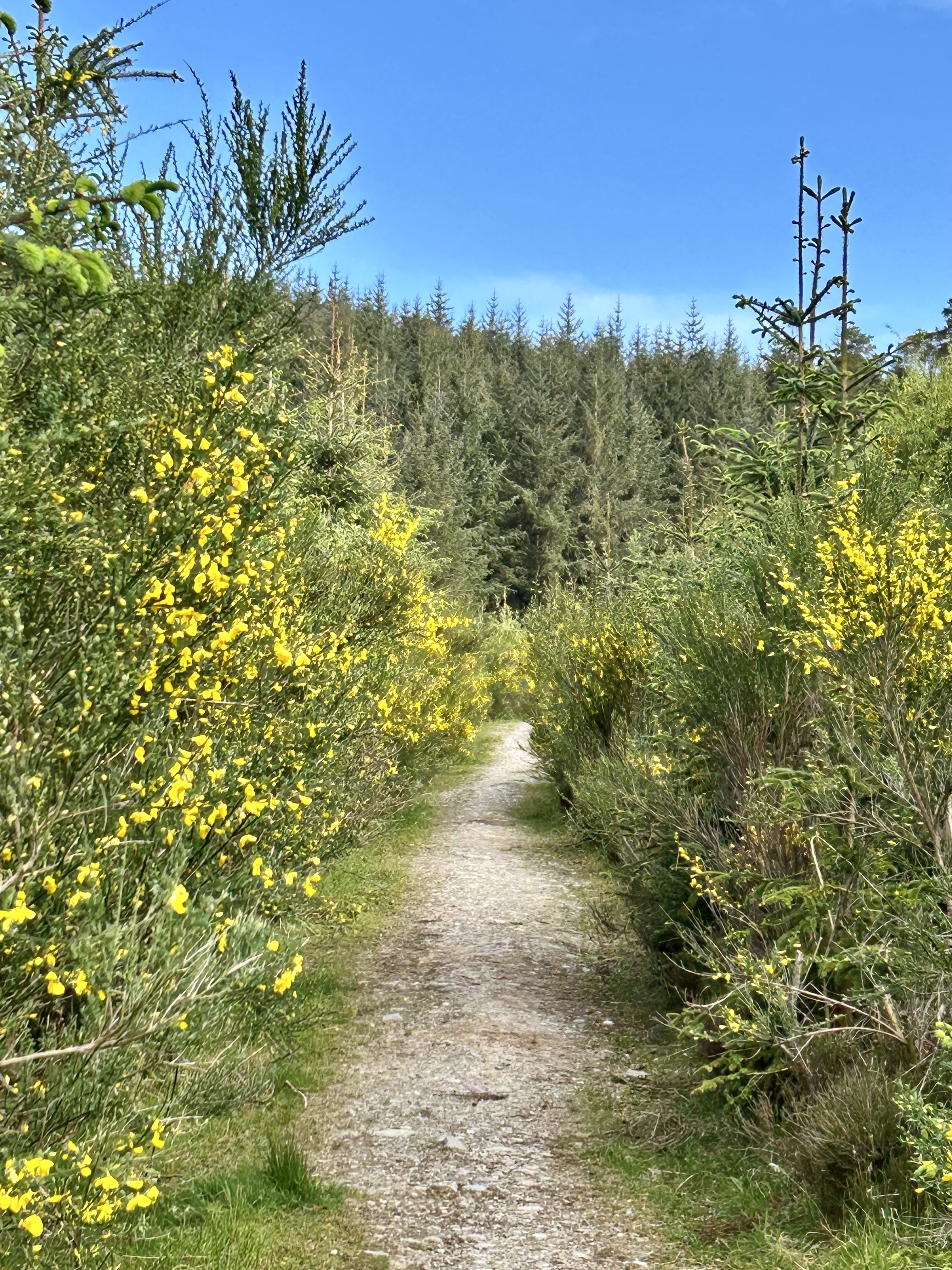
Today was different; I had decided to forget about the time and just enjoy the remarkable Spring scenery. Bluebells, gorse and broom were in flower, the birds provided the chorus, and the skies were a kaleidoscope of images. I took photos of the route as a perpetual memory of the backdrop of the run/walk that I have done the most times in my life's journey. Lime Craig was where I went to exercise, to reflect, to write talks, to release my endorphins and where I went to find solace on the day that Aileen died. 

Despite the perfect morning, there was no one else on the hill today. I reached the top in 39 minutes; it was a breeze, and time no longer mattered. This was the day I accepted that 199 was just another number and there was no need to add any more.

The photos below are in order of ascent and descent.

Start of the steep path from Braeval

K corner

Recent tree felling has opened the views

Craigmore ahead and turn right

Keep going, the halfway mark

Broom and Gorse Glade

Pine skyline

Looking south to the Campsie and Whangie

Patterned Skies

Final section

Path to the summit looking down

Summit 

Summit Bench and Ben Venue

Craigmore to Ben Venue

Ben Ledi


Ben Lomond and Craigmore on descent