 |
| Home for 40 years - Cockley Beck |
In May 1984, we spent a week at Grange in Borrowdale in the Lake District with our three children, all under four, Gregor was only two months old. It was a perfect location and the week was mainly sunny. I ran my second half-marathon around Derwentwater on Sunday, passing through Grange and the cottage we were staying at. The children cheered me on, and my parents came for the day. It was a perfect day with our young family, the sort of day that stays with you forever.
My uncle from Australia was a surprise visitor midweek, he had been an RAF pilot and had always enjoyed flying in without notice. He shared my father's love of the Lakes when growing up and after 22 years of building a successful business in Sydney, he was contemplating a move back to the UK. We took him for a cream tea at Watendlath, it convinced him and he bought a house in Formby. Seven years later his ashes were scattered from the bridge by the Langdale Hotel where my parents had spent their honeymoon during the demob days of rationing.
The two girls spent some time on most days paddling in the river at Grange and insisted on daily ice cream from the local shop. We climbed Catbells and Castle Crag introducing Gregor to the hills strapped onto Aileen whilst I managed to convince the girls who were two and three years old that climbing hills was a magical adventure and kept them walking with occasional stops for flowers and drinks We visited the pencil factory in Keswick and bought them colour pencils, we caught the wooden launches around Derwentwater stopping at different jetties and taking walks to places illustrated in Beatrix Potter's books. We had a fair number of lunches in the Lakeland pubs that welcomed children. The children were smitten by the Lakes, as I had been twenty-five years earlier.
The only downside was the cottage. It was pretty and well-located but had the ambience of a saleroom. The beds and chairs were uncomfortable, the bedding grubby and the crockery and cutlery were unmatched, cracked and bent. This was not unusual, Airbnb was a distant online business in 1984, and holiday cottages were often in houses of deceased relatives, explaining the shoddy furniture and fittings.
Towards the end of the week, the heavens opened and we drove to Langdale, a favourite haunt I had frequently visited as a child, walked as a teenager and climbed in my twenties. We were driving past a new development of timeshare lodges with a pub, two cafes and a leisure centre at Chapel Stile on the site of the old gunpowder workings. It was raining too hard to take the children for a walk so we dropped in to have a look. We were shown around by a friendly salesman. We were overawed at the quality and fittings in the lodges, they had comfortable beds and sofas, a Bang and Olofson hi-fi system, a dishwasher, matching crockery and cutlery, a sauna and there was a swimming pool for the children to learn to swim and a children's playground. We enquired about the availability of lodges for the first week of the Scottish school holidays and were given 4 or 5 options. They were not cheap but the prospect of having somewhere special in a superb location to visit and no longer having to risk the lottery of holiday lets were irrefutable selling points.
We obtained a bank loan the following week from a friendly bank manager who was very taken by Aileen and the children as I explained the purpose of the loan. We began a lifetime of visits for the family three weeks later. Each year we packed and left early on the day after school summer holidays began. The drive down the M74 in the 1980s was chock-a-block with Scottish families heading on holiday to UK resorts, visiting families in England and camping holidays in France and beyond. We would reach the Lakes by lunchtime for a pub lunch at Bassenthwaite or Derwentwater, buy provisions in Keswick or Grasmere and make Langdale by 4pm for entry to the lodge, We would go for a swim and I would have a run before we drifted to the nearby Britannia Inn for drinks and food. It was a timeless routine that we all loved. My parents, brother, sister and family would visit on Sunday. The rest of the week was for walking, sailing on Coniston on the Langdale yacht called Vixen, swimming, outdoor activities and pub lunches.
As the years passed and the children left home, they would still come if they could. The lodge had several refits, each to a lesser standard than before. The biggest change was when a new 5* Brimstone Hotel was built on-site with a dedicated spa facility. It took away the bar and restaurant by the pool which was always a favourite place to relax after a swim or the use of other leisure facilities. It brought in a wealthy clientele which seems to have prompted higher prices for the facilities on site meaning we have spent more time visiting other places in the lakes than during the early days.
We established favourite visits - Slater's Bridge and the Cathedral in Little Langdale, lunch at Mrs Tiggywinkle's Littletown farm in Newlands, where Mrs Tigglewinkle had taken in washing, Blackwell Arts and Craft House on Windermere, Fellinis Restaurant in Ambleside, Canoes on Derwentwater, a walk to Chesters at Skelwith Bridge for lunch and the Gingerbread shop and Ice Cream parlour in Grasmere. We climbed many of the fells as a family, although Aileen lost her love of hillwalking during our first visit when I insisted on taking three under fours up the Langdale Pikes with Gregor, a three-month-old, strapped to her front and me carrying one of the girls and hauling up another.
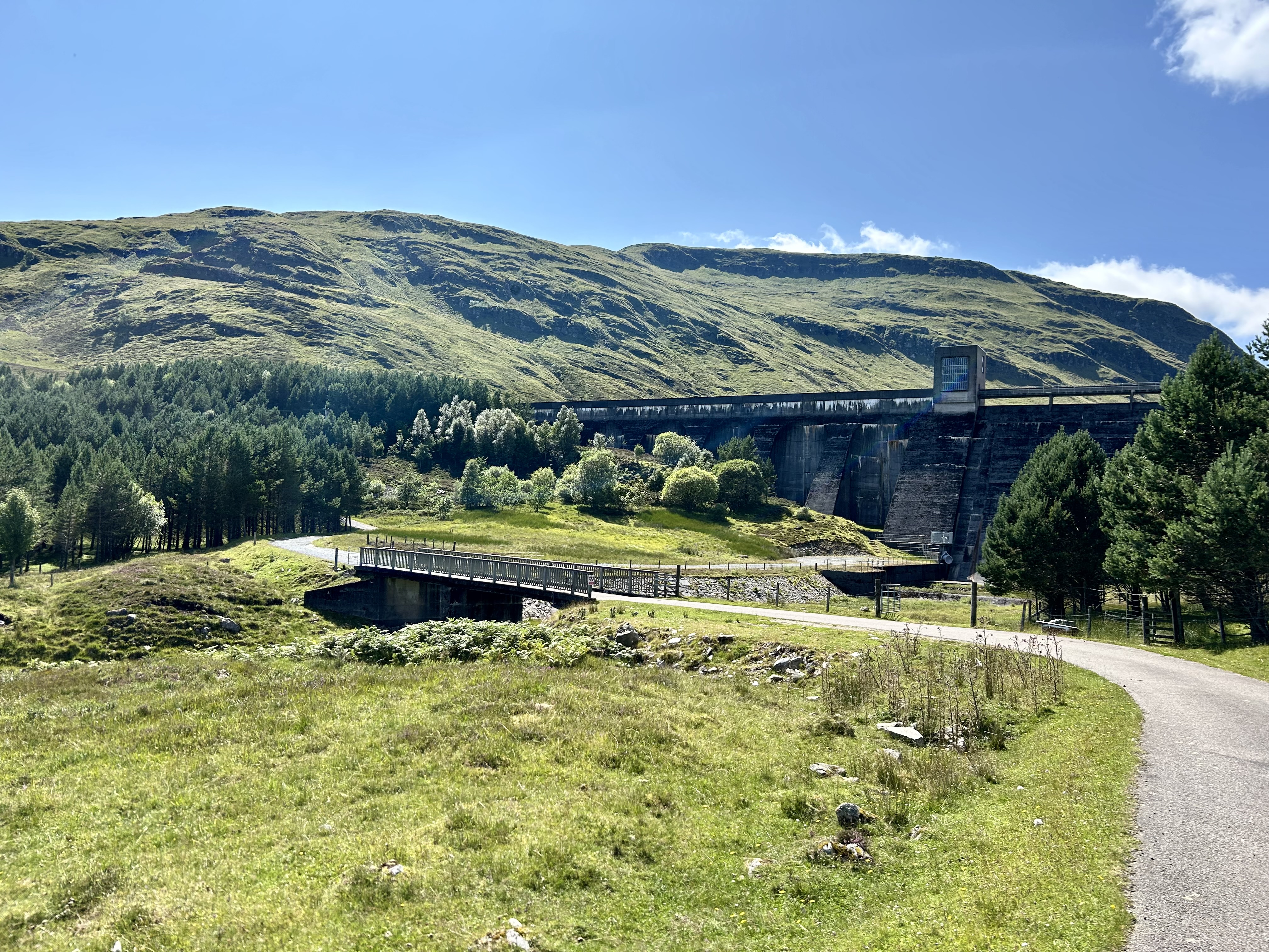
Nevertheless, the family made regular walks up Catbells, Loughrigg Fell, Silver How, Lingmoor Fell and the Langdale Pikes as well as climbing the major peaks. I finished climbing the 214 Wainwright Hills in 2011 and Gregor completed them last year, 2023. I intend to finish the Wainwright's again and I am 70% there. I have enjoyed short visits in the winter months this couple of years, staying at a youth hostel with John and Keith.
The Lakes hold a lifetime of happy memories and provide some continuity in the timeline of life. There was an emptiness this year, although Gregor and I managed quite a few walks, watched the football and celebrated the dismissal of the worst government in my lifetime. But Langdale conjured many images of happy family days that made me melancholic. I have been spending too much time thinking back rather than planning forward. I need to recover my zest for life after the trauma of the last couple of years.
 |
| Lodge Lounge |
 |
| Windermere and Langdale Pikes |
 |
| On the Great Langdale Beck |
 |
| Ice Cream outside the Lodge |
 |
| Elterwater walk back from Skelwith Bridge |
 |
| Finishing the Wainwrights on Green Fell - 2011 |
 |
| Introducing the grandchildren to the Lakes |
 |
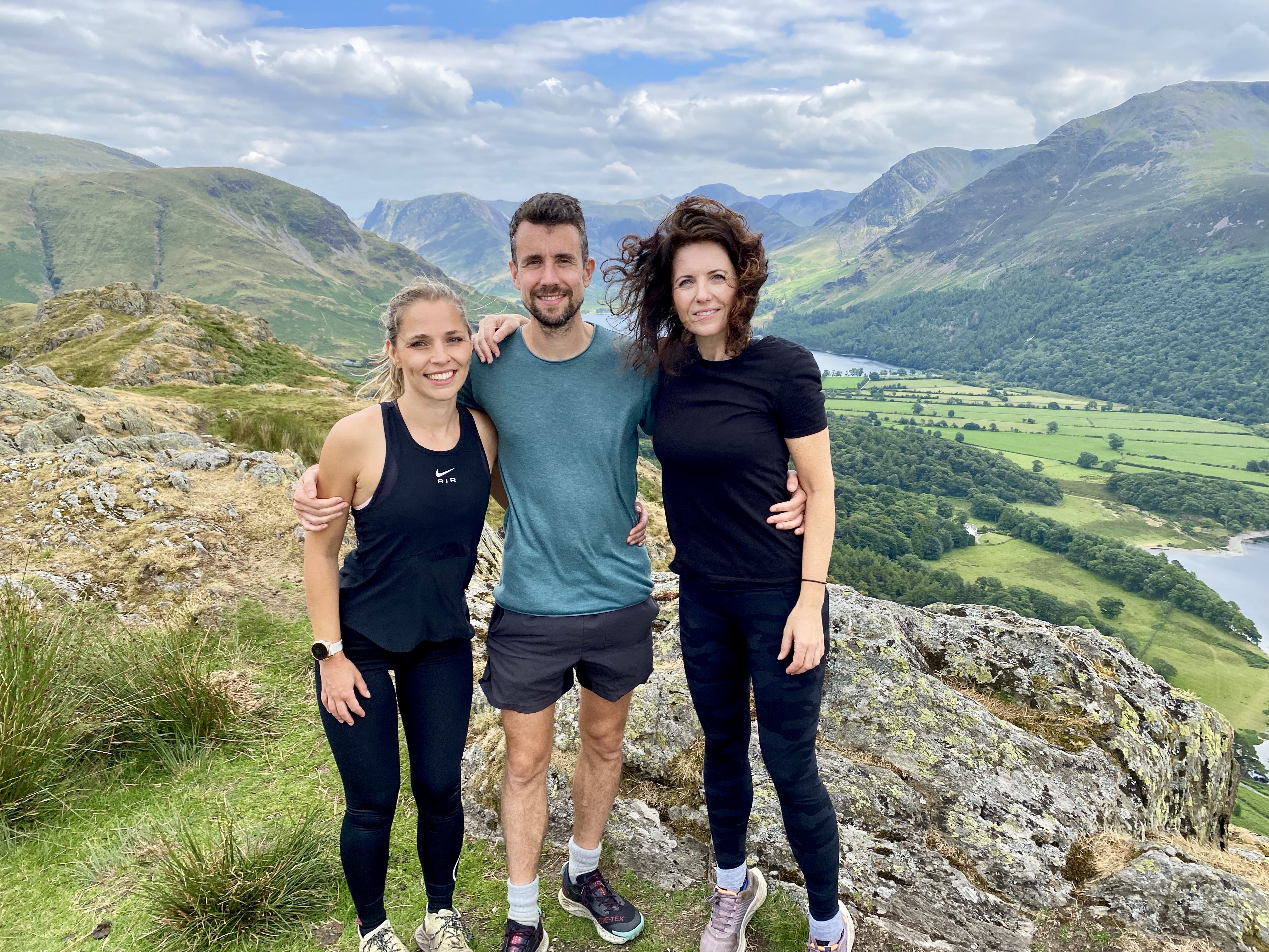
| Gregor's Wainwright Finish, Bannerdale Knotts, 2023 |


