 |
| Brown Cow Hill from the ascent of Culardoch |
 |
| Corndavon Bothy and Lodge on river Gairn, Brown Cow Hill on right |
 |
| The route up Culardoch, exciting stuff? |
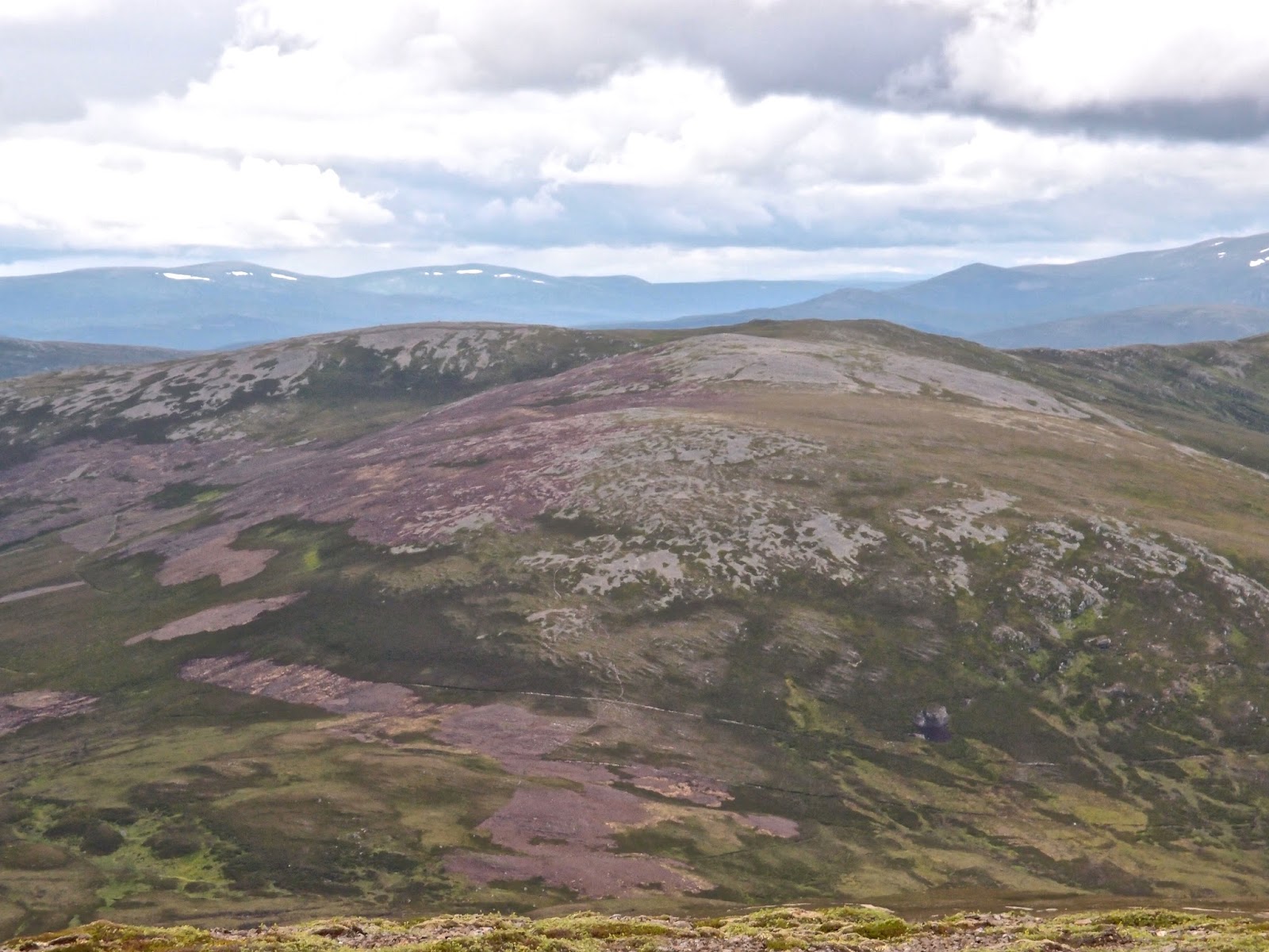 |
| Carn Liath from Culardoch |
 |
| Culardoch across Bealach Dearg from Carn Liath |
 |
| Ben Avon tors from Carn Liath |
 |
| River Gairn looking towards Brown Cow Hill |
 |
| More exciting hill walking - approaching the summit of Brown Cow Hill |
 |
| Evening rainbow in Strath Gairn |
Ascent: 1310 metres
Distance: 18 km on bike, 24km walk
Time: 6 hours 41 minutes walk + 1hr 32 mins bike
c Culardoch 900m 1hr 33mins
c Carn Liath 842m 2hrs 49mins
c Brown Cow Hill 827m 5hrs 56mins
Brown Cow Hill is a name to fire the imagination despite being one of the least accessible hills and having none of the qualities that entice you to climb it. In this dreadful summer, I have been waiting for a two or three-day spell of reasonable weather to go to Glen Affric and/or the Fannaichs for the remaining three longer walks of my current Munro round. There have been a few days worth making a journey and I was desperate to get out. The forecast suggested that there might be a reasonable day in the far northeast. It would be a chance to clear up the last of my corbetts there, which included Brown Cow Hill.
I left home at 7:30 intending to spend a couple of days and took the bike for the longish route into Brown Cow Hill along the river Gairn from Braenalain just north of Balmoral. I had originally intended to walk the two corbetts north of Invercauld, drive around to Brown Cow Hill, camp overnight and then complete it in the morning. The beauty of online maps is that you can create your own map on screen and discover those potential routes lost at the corner or edge of an OS sheet become more obvious. I realised that I could set out from Braenalain and cycle up the river Gairn and then climb Culardoch and Carn Liath followed by a long walk back along the river Gairn and up and over Brown Cow Hill from the west. It would certainly be across some remote wild country and even the intrusive new tracks used for ferrying gun parties up to the shooting butts are absent this deep into the Grampians.
I assembled the bike I had transported in the boot of the car, there is less air resistance than sitting on the roof, and began the 7-kilometre ride to Corndavon Lodge. The grey clouds looked free of rain and there was only a slight breeze. There is not much of an incline as you cycle past abandoned houses dotted alongside this splendid glen. The track was mostly good although, towards the house and bothy, a bulldozer was smoothing out the track and leaving stretches of loose gravel that the bike wheels sank into making cycling much slower. I decided that it would be worthwhile to go an extra couple of kilometres to a bridge by an old ruin and then use the bulldozed track towards Culardoch.
I dumped the bike, crossed the river and began the steep ascent. As always the transition from bike to walking was not easy and the first 15 minutes of walking up a steep path seemed laboured. As the gradient lessened the bulk of Culardoch appeared above. This was the sort of hill that would tax my tolerance of deep heather and convex hills. There was a boggy section before I reached a track at 600 metres and a high fence to climb to enter the Invercauld estate. The next forty minutes was one of those exercises in determination to overcome the tedium of fighting heather, wet ground, gravity and an abundance of grouse. There were dozens of families of grouse and the parent birds would take off with the whirring of wings and familiar calls and then 4 or 5 or 6 or 7 young birds would follow without the sound. Their flight was erratic and the mature birds seemed nervous, perhaps they knew that August was approaching and assumed I was a beater, there can be few walkers on this hillside. There were also lots of hares displaying a blue hue, they sprang out from the rocky sections and always seemed to run uphill.
I had been sheltered from the strong westerly wind on the ascent but arriving on the summit ridge exposed me to the full force of the wind. I walked across to the trig point and had some much-needed lunch, getting what little shelter I could from the small cairn. The views were set against a grey sky but it was still fine as I began the far easier descent to the west. I hit a track at about 750 metres and dropped to the bealach before Carn Liath. I met a walker doing these two hills in the reverse order and he seemed to think that tackling Brown Cow Hill as well was a masterstroke, he was going to climb it tomorrow having ascended from the normal starting place at Invercauld. There was a bit of agriculture activity just above the bealach where three men in a Land Rover were tending to some vegetation in small polytunnels.
The climb up Carn Liath was far more enjoyable, a good path climbing quite steeply until the last 50 metres of ascent when I traversed around to the 842-metre top that used to be the summit. The summit has now transferred to the western top, also listed as 842 metres but 5 metres higher according to my altimeter. The whole summit is a delightful ridge with close-up views of Ben Avon and its numerous granite tors. I descended eastwards dropping down a ridge and eventually reaching the broad glen that has been gouged out by the river Gairn. I found a bridge across the river and then after a kilometre or so on a narrow path, I crossed a broken bridge to a well-made estate track that led up to the two lochans by Loch Builg Lodge.
This was very remote country. I had decided to tackle Brown Cow Hill head-on, it was a 400-metre climb through long grass and heathers, not made any easier by the onset of a heavy shower which turned into hail. I had to don my full rainwear before continuing up to the 640m top. It was a navigation mistake, there was another 2-kilometre slog through peat hags before the final pull-up to Brown Cow Hill. It had all the character of woodchip wallpaper, the rough texture presumably changing colour with the seasons. Needless to say, the summit was a flat pile of stones in the middle of a vaguely convex plateau. I stopped for a few minutes to have a drink and retrieve an apple from the bottom of the rucksack.
The descent was slightly more interesting. I headed for the Easter Shenalt burn that cuts into the mountain and then traversed to the west through recently burned heather to eventually arrive at my bike. The ride out was the perfect end to a long and tedious day. The evening sun lit up the glen, the track was mainly downhill and I was treated to a magnificent rainbow just before I arrived back at the car. It was later than I had hoped, although it had been a 42-kilometre cycle/walk over the uncompromising terrain. I changed my shoes, put my bike in the car and then drove down to Tomintoul in the hope of finding a hotel still serving food. Many hotels have an unfortunate tendency to stop serving at 8pm. I arrived in time to buy a meal and enjoyed a pint with a reasonably priced supper.
I drove onto Dronlach east of Nethy Bridge and camped next to the turning circle opposite a large warehouse; a good location to climb the Abernethy Geal Charn in the morning. Only when I returned from that walk did I realise that I had left the front wheel of my bike at Braenalain. It was too far to go to retrieve it and I had a spare wheel in the garage after scrapping my previous Mountain Bike when the backstay had snapped.

No comments:
Post a Comment
thanks